Troodos · One trail, two trailheads, 333 metres of difference
Caledonia Waterfall, Cyprus: which end of the trail to start from
A practical guide to Caledonia Waterfall in Cyprus: the official 3 km Kalidonia trail figures, why the direction you walk it matters more than the distance, and how to fit it into a Troodos day.
- Filed under
- Places
- Updated
- 14 September 2026
- By
- The editors
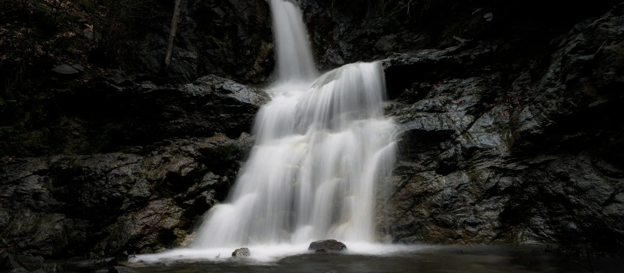
Caledonia Waterfall is a 13-metre fall on the Kryos Potamos about 2 km north of Pano Platres, and the only decision that really changes your day is which end of the trail you start from. The official route is 3 km, linear, graded difficulty 3, and it drops from 1,571 metres at the Troodos end to 1,238 metres at Psilo Dendro above Pano Platres. That is 333 metres of height in three kilometres, and whichever end you park at, you have to deal with it twice.
Almost nothing on the first page of search results tells you that. You will find the fall described as 12 metres and 13 metres, and the trail as 3 km, 3.5 km and 2.6 km, all correct depending on which measurement someone took. The altitude profile is the number that settles what the walk actually feels like, and it comes straight from the official Visit Cyprus trail listing.
Caledonia Waterfall at a glance
| Question | The useful answer |
|---|---|
| Where | Kryos Potamos valley, about 2 km north of Pano Platres, Limassol district |
| Height | 13 m per the Troodos Geopark, 12 m per Wikipedia and AllTrails |
| Trail | Kalidonia nature trail, 3 km linear, indicative time 1.5 hours, difficulty 3 |
| Altitude | 1,571 m at the upper trailhead, 1,238 m at Psilo Dendro |
| Upper trailhead | About 350 m off the Troodos Square to Platres road, roughly 3 km from the square, via the old road past the Presidential Summer Residence |
| Lower trailhead | Psilo Dendro, above Pano Platres |
| Cost | Free, and there is no ticket or gate |
| Can you drive to it | No. Both ends are trailheads; the fall itself is on foot only |
The waterfall sits inside the Troodos National Forest Park, and the Environmental Information Centre at Troodos Square is the nearest staffed point if you want to check conditions before setting off.
Which direction should you walk it?
This is the question the search results skip, and it is the one that decides whether the walk suits your group.
The trail is linear, not circular. It does not bring you back to your car. So unless you have two vehicles or a taxi arranged, you are walking an out-and-back, and the direction you choose determines when the climbing happens.
| Start from | What you get | Who it suits |
|---|---|---|
| Psilo Dendro (lower, 1,238 m) | Climb first, descend on the way back, and the waterfall is roughly 1 to 1.5 km in | Most visitors, families, anyone wanting the shortest route to the fall |
| The Troodos end (upper, 1,571 m) | Descend through the best of the forest, then climb 333 m back to the car | Walkers who want the full trail and are happy with a real ascent at the end |
For most people the answer is Psilo Dendro. It is the shorter approach to the waterfall, there is somewhere to park and eat at the bottom, and the difficult part of the day is over early while everyone is fresh. This is also where the widely quoted “2.6 km out and back” figure comes from: it is the Psilo Dendro to waterfall section and back, not the full trail.
Walking down from the Troodos end is the better outing if the trail is the point rather than the photograph. You get the dense upper forest, the river alongside you for most of the descent, and the fall arrives as the payoff near the end. The catch is honest and worth stating plainly: 333 metres of ascent on the return, in mountain heat if you have timed it badly, and no shortcut once you are committed.
Do not assume you can walk it one way and get a lift back. Pano Platres and Troodos Square are about 3 km apart by the old road but there is no dependable shuttle between the two trailheads, and mountain mobile signal is patchy enough that summoning a taxi from the middle of the forest is not a plan.
The numbers that disagree, and which to trust
Three conflicts come up repeatedly, and none of them should change your decision.
Height: 12 m or 13 m. The Troodos Geopark, a UNESCO Global Geopark, publishes 13 metres. Wikipedia and AllTrails say 12. A metre of difference on a forest fall is not something you will perceive.
Length: 3 km, 3.5 km or 2.6 km. Visit Cyprus and the Platres village trail page both give 3 km for the full linear route. The 3.5 km figure comes from blogs measuring slightly different start points. The 2.6 km figure is AllTrails describing the out-and-back from the bottom. All three are defensible; they are simply measuring different walks.
Difficulty: “high” or “level 3”. These are the same thing said differently. The Cyprus grading runs to difficulty 3 for terrain that can be steep, rough, narrow or slippery. It is not a warning that you need technical skill; it is a warning that trainers with grip beat sandals, and that wet rock after rain changes the walk.
Is it the tallest in Cyprus? Not on the published numbers. The Geopark gives Millomeris, on the same river a kilometre the other side of Pano Platres, as 20 metres. Caledonia is the more famous and the more visited, which is how it ended up with the title. Our Millomeris walkthrough covers that one, and the Cyprus waterfalls hub compares all seven if you are still choosing.
What the walk is actually like
The trail runs through dense forest before dropping down to run alongside the Kryos Potamos, the Cold River, which Visit Cyprus describes as having running water all year round. That perennial flow is why Caledonia holds up in late summer when the smaller Troodos falls have thinned to a trickle.
Expect to cross the stream several times on stones and small wooden bridges, and expect those crossings to be wet. The path narrows in places and runs close to the water for long stretches, which is the appeal and also the reason the grading is what it is.
The official listing names six endemic plants along the route, including Troodos sage, golden oak and Aphrodite’s spurge, and the fauna list runs from Bonelli’s eagles and the endemic Cyprus warbler to foxes and hares. It also lists Cyprus vipers. That is not a reason to stay away, but it is a reason to stay on the path, watch where you put your hands on rock, and keep dogs under control. Dogs are permitted on the trail.
The fall itself is modest and set in a narrow, damp, shaded gorge. Go for the river walk and the cold air under the pines and you will have a very good morning. Go expecting a spectacle and you will be the visitor writing that it was smaller than the photos suggested.
When to go
Caledonia works across a longer season than most Cyprus walks because the river does not dry up. Wikipedia gives March to October as the usual hiking season, which is a reasonable rule with two caveats at each end.
Spring is the strongest water and the best of the flowers, and it is also when the rock is most likely to be slippery. Autumn, from now through October, is arguably the best compromise: the flow is still there, the forest has cooled, and the trailhead parking is less contested than in August. Summer is entirely doable if you start early; the trail is shaded for most of its length, but the 333-metre climb back to the Troodos end in afternoon heat is a genuinely different proposition from the same climb at nine in the morning. Winter brings snow to the upper Troodos, and the same range that gives Cyprus its short ski season can make the top of this trail icy. Check conditions rather than assuming a mild coastal forecast applies at 1,571 metres.
What to take
| Take | Why |
|---|---|
| Shoes with grip | Wet rock, stream crossings and loose ground; hiking boots are recommended after rain |
| More water than feels necessary | There is nothing to buy on the trail itself |
| A light layer | Platres and Troodos run considerably cooler than the coast, especially in shade |
| Offline map | Signal is unreliable in the valley |
| Sun protection | The trailheads and the drive are exposed even though the trail is shaded |
Fitting it into a Troodos day
Caledonia earns a half-day, not a whole one. The strongest shape is the walk in the morning, lunch in Pano Platres, and one more stop in the afternoon.
The obvious pairing is Millomeris, on the same river a kilometre south of the village. Doing both with lunch between them is the best waterfall day on the island and it costs nothing. Mount Olympus, the island’s high point at 1,952 metres, is about half an hour from the upper trailhead if you would rather swap the second waterfall for a summit.
If you are building a first mountain day rather than a specific waterfall trip, start with our Troodos guide, which sets out the villages, the monasteries and the realistic driving distances. If the hike is the point, our hiking in Cyprus guide puts Kalidonia alongside the Artemis, Atalanti and Persephone routes so you can compare grades before committing.
Coming from the coast, treat this as a full day out rather than an afternoon detour. Our Paphos to Troodos guide compares driving, organised tours and public transport, and the mountain roads are winding enough that the Cyprus car hire and driving in Cyprus guides are worth a look if this is your first time on them. Unlike Millomeris, there is no unmade-road question here: both Caledonia trailheads are on sealed roads, so no hire agreement is at risk.
The short answer
Park at Psilo Dendro, walk up, and turn round at the fall. That is the version that suits most visitors, and it is about 1.5 to 2 hours including time at the water. If you want the whole trail and you have the legs for a 333-metre climb at the end of it, start at the Troodos end and walk down. Either way, wear shoes with grip, bring water, and go in the morning.
Sources for route, height and location details: the Visit Cyprus Kalidonia nature trail listing, the Troodos Geopark waterfall directory and the Platres Village Kalidonia trail page. Trail conditions, closures and weather change; current signage and the Environmental Information Centre at Troodos Square are the final authority on the day.
Hero image: an illustrative long-exposure photograph of a forest waterfall, via Unsplash. It is not a documentary image of the Caledonia fall and does not represent current flow or conditions on the Kalidonia trail.
Quick answers
Frequently asked questions
How long does it take to hike to Caledonia Waterfall?
Visit Cyprus gives the full Kalidonia trail as 3 km linear with an indicative time of 1.5 hours one way. Most visitors do not walk it one way, because that leaves the car at the wrong end. If you start at Psilo Dendro in Pano Platres, walk up to the fall and come back, allow around 1.5 to 2 hours in total including time at the waterfall. If you walk the full trail down from the Troodos end and back up, allow closer to three hours and expect the return to be the hard half.
Is there a trail to Caledonia Waterfalls?
Yes. The Kalidonia nature trail is an official signed route inside the Troodos National Forest Park, 3 km long, graded difficulty 3, and it passes the waterfall on its way down to Psilo Dendro above Pano Platres. There are two access points: one about 350 metres off the Troodos Square to Platres road, roughly 3 km from the square, reached via the old road past the Presidential Summer Residence, and one at Psilo Dendro itself.
Can you drive to Caledonia Waterfall?
No. Unlike Chantara or Mesa Potamos, there is no road to the fall itself. The closest you can get a car is one of the two trailheads, and you walk from there. That is the main practical difference between Caledonia and the Troodos waterfalls you can more or less park beside.
What is the biggest waterfall in Cyprus?
Published sources disagree, and Caledonia is usually the one wrongly given the title because it is the best known. The Troodos Geopark lists Millomeris at 20 metres and Caledonia at 13; Wikipedia and AllTrails give Caledonia as 12 metres. On the sources that ought to know, Millomeris is the taller and Caledonia is the more visited. Our Cyprus waterfalls guide sets out all seven with their published heights.
Can you swim at Caledonia Waterfall?
There is a pool at the base and people do get into it, but it is a mountain stream rather than a managed swimming site. There are no lifeguards, no depth markings and the rock around the fall is permanently wet. The Kryos Potamos is called the Cold River for a reason. Treat any dip as your own judgement call, and keep children well back from the lip and the wet rock at the edges.